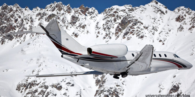
Snow – Its Effects on Aircraft & Runways: Part 1 – Types of Snow

This business aviation blog post is part of a series on snow and its effects on aircraft and runways.
With the winter season now upon much of the Northern Hemisphere, it’s time to start thinking about snow. Different types of snow and snow byproducts have the potential to significantly impact general aviation movements throughout many parts of the world. Awareness of the different types of snow and snow activity is important when planning trips to snow-prone areas.
The following is an overview of what you need to know:
1. Snow – defined
According to the National Weather Service (NWS) Glossary, snow is precipitation in the form of ice crystals – mainly composed of intricately branched hexagonal crystals agglomerated into snowflakes. Snow is formed directly by the freezing (deposition) of water vapor in the air. The different types of snow are dependent on the type of snow crystals – such as snowflakes, graupel, or ice crystals.
Ice pellets or sleet is defined as pellets of ice composed of frozen raindrops or refrozen partially melted snowflakes. Snow pellets or graupel consists of crisp, white, opaque ice particles round or conical in shape and about 2-5 mm in diameter. Slush is melted or melting (water-saturated) snow and can be in combination with any of the above.
2. SNOWTAM and snow types
- SNOWTAM
- A special series NOTAM notifying the presence, or removal, of hazardous conditions due to snow, ice, slush, or standing water associated with snow, slush, and ice on the movement area, by means of a specific format.
ICAO Annex 15, Appendix 2 provides the SNOWTAM format and definition for runway conditions. As defined in the SNOWTAM, snow types that may be deposited on the runway are:
- Dry snow – can be blown if loose or compacted by hand, will fall apart again upon release.
- Wet snow – can be compacted by hand and will stick together and tend to form a snowball.
- Compacted snow – can be compressed into a solid mass that resists further compression and will hold together, or break up into lumps, if picked up.
3. Snow conditions are more common in some regions
Airports within polar or temperate zones of the Northern or Southern Hemispheres are generally at risk of significant snow or ice events. Flight diversions are common during significant snow events, and the average decision point depends on how extensive and significant the local snow event is.
4. Blowing snow
There is a range of situations in which, due to snow events, pilots need to be especially vigilant.
Blizzards are violent winter storms. This snow event combines subfreezing temperatures and very strong winds, laden with blowing snow that reduces visibility to less than 0.25 miles.
Blowing snow is wind-driven snow, occurring at moderate or great heights, that significantly reduces surface visibility and can be accompanied by drifting snow. Blowing snow can occur during or after a snowfall. Visibility at the flight deck level is generally very poor.
Drifting snow is snow on the ground that’s blown by the wind to heights of less than 6 feet above the surface. Drifting snow can occur during or after a snowfall and is often associated with blowing snow.
5. Sources for additional information
The Weather Prediction Center has a useful link to winter weather forecasts, while the NWS provides detailed aviation forecasts. The paper by Dr. Roy Rasmussen and Jeffrey A. Cole (National Center for Atmospheric Research) offers excellent research on the effects of snow intensity. Your 3rd-party provider may also have information concerning winter weather situations.
Questions?
If you have any questions about this article or would like weather planning assistance for your next trip, contact me at stevearbogast@univ-wea.com.
Stay tuned for Part 2, which covers how operators can deal with snow.


